
Geodesy and topographic surveys
Topographic surveys at scales from 1:500 to 1:10,000, digital terrain models, linear route surveys and as-built surveys.
Site and ground information to inform design decisions. The survey programme is tailored to the facility.
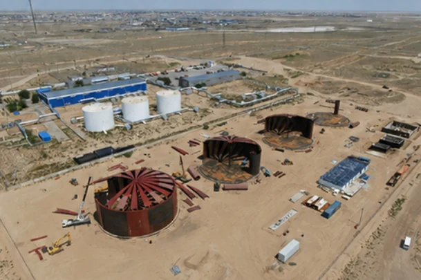
Topographic surveys at scales from 1:500 to 1:10,000, digital terrain models, linear route surveys and as-built surveys.
Geological boreholes, ground probing and plate-load testing.
Laboratory testing of soil and water, geophysical investigation and assessment of changes in engineering-geological conditions.
An agreed package of solutions, works and documentation for the chosen service. Stages, responsibilities and handover materials are defined in the technical brief.
Keep the design intent, construction site and future operation connected.
Geodesy, geology and site information.
Concept, calculations and detailed design.
Technical conditions and review.
Supply, civil works and installation.
Testing, documentation and handover.
Maintenance, repairs and system development.